Introducing the Climate Risk Overview
How big is the impact of climate change on your surroundings, who’s vulnerable, and which coastlines are most at risk? The Climate Risk Overview tool has the answers.
most at risk
the world's
coastal areas
Identify
Most at
risk


Coastal areas
The world's

Identify
'I am very enthusiastic about the tool and the idea behind it. It indicates what is happening in the world, who is vulnerable, and which coastal areas are at risk. And the good thing is that it makes use of open source data. It will be important in creating awareness and in the way we think about possible solutions. I am a defender of this overview.'
Jan Peter Balkenende,
Former Prime Minister
of The Netherlands
'Climate adaptation and resilience require a joint effort from public and private partners, especially for communities and cities that are most vulnerable to climate change. I therefore appreciate leading Dutch company Van Oord for developing this Climate Risk Overview.'
Ahmed Aboutaleb,
Mayor of Rotterdam,
The Netherlands
'Van Oord’s Climate Risk Overview is an example of the invaluable role of the private sector and will be essential to broadening our understanding of climate risk and opportunities. GCA will continue to collaborate with partners across sectors that are equally committed to strengthening our climate resilience.'
Patrick Verkooijen,
CEO of the Global Center on Adaptation


Please wait a moment for the tool to load
The Climate Risk Overview is the product of cooperation. It was reviewed by multiple industry professionals and we are grateful to them for their support.
Partners Climate Risk Overview
The Climate Risk Overview is meant to be a conversation starter for governments, investors and society about what action needs to be taken and where. It is a tool for learning and sharing information. Above all, we hope it will persuade you to contact us to find out more and discuss how we can help support the hotspots identified.
Conversation starter
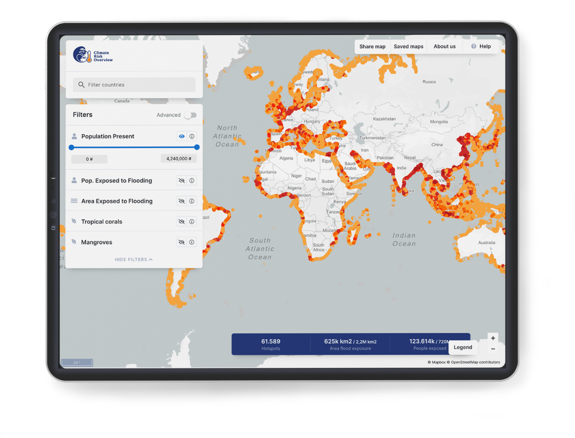
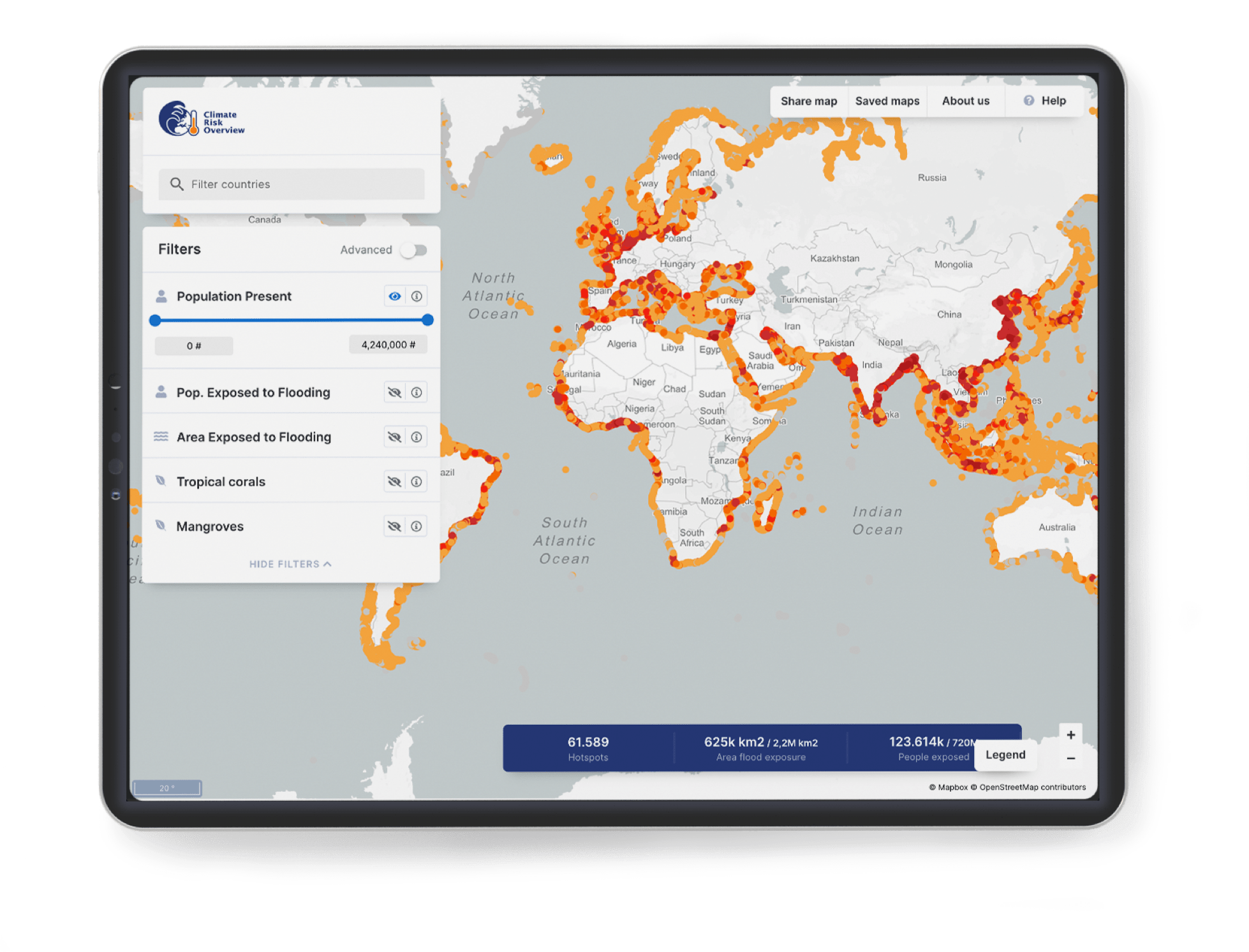
The data comes from open sources and is mapped onto 10-kilometer stretches of the world’s coastlines. The various parameters can be filtered to narrow the visualisation down to a selected number of hotspots. Besides the hotspots, the tool also highlights how many people are exposed to flooding owing to sea-level rise, for example.
How it works


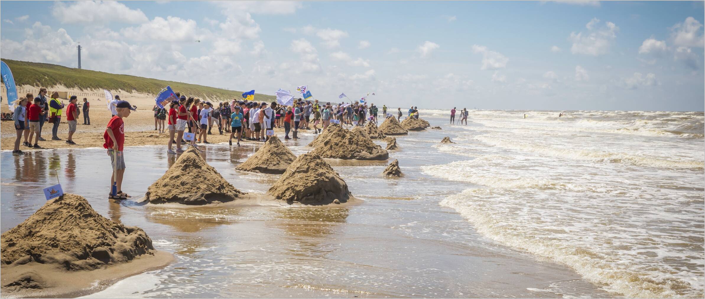


Help us make our tool a success by giving us your input. Get in touch and join us in developing new solutions that contribute to a better world.
Get on board
It’s a free tool that we can all use to zoom in on the most vulnerable coastlines. It allows us to identify areas most at risk and take action. The Climate Risk Overview is a visualisation: a map that shows key parameters, including population, flood exposure, elevation, coastal erosion, and ecology. Watch the launch of or climate risk overview during the Climate Adaptation Summit
What is the Climate Risk Overview?
How big is the impact of climate change on your surroundings, who’s vulnerable, and which coastlines are most at risk? The Climate Risk Overview tool has the answers.
Introducing the Climate Risk Overview
most at risk
the world's
coastal areas
Identify
Most at
risk

Coastal areas
The world's

Identify


The Climate Risk Overview is meant to be a conversation starter for governments, investors and society about what action needs to be taken and where. It is a tool for learning and sharing information. Above all, we hope it will persuade you to contact us to find out more and discuss how we can help support the hotspots identified.
Conversation starter
Help us make our tool a success by giving us your input. Get in touch and join us in developing new solutions that contribute to a better world.
Get on board
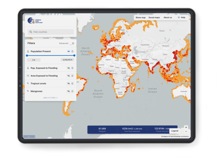
The data comes from open sources and is mapped onto 10-kilometer stretches of the world’s coastlines. The various parameters can be filtered to narrow the visualisation down to a selected number of hotspots. Besides the hotspots, the tool also highlights how many people are exposed to flooding owing to sea-level rise, for example.
How it works
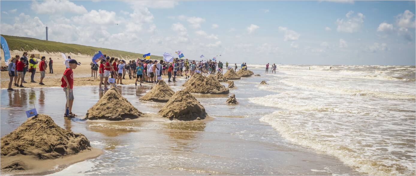

'Van Oord’s Climate Risk Overview is an example of the invaluable role of the private sector and will be essential to broadening our understanding of climate risk and opportunities. GCA will continue to collaborate with partners across sectors that are equally committed to strengthening our climate resilience.'
Patrick Verkooijen,
CEO of the Global Center on Adaptation
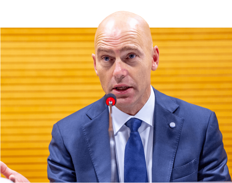
'I am very enthusiastic about the tool and the idea behind it. It indicates what is happening in the world, who is vulnerable, and which coastal areas are at risk. And the good thing is that it makes use of open source data. It will be important in creating awareness and in the way we think about possible solutions. I am a defender of this overview.'
Jan Peter Balkenende,
Former Prime Minister
of The Netherlands

'Climate adaptation and resilience require a joint effort from public and private partners, especially for communities and cities that are most vulnerable to climate change. I therefore appreciate leading Dutch company Van Oord for developing this Climate Risk Overview.'
Ahmed Aboutaleb,
Mayor of Rotterdam,
The Netherlands
The Climate Risk Overview is the product of cooperation. It was reviewed by multiple industry professionals and we are grateful to them for their support.
Partners Climate Risk Overview
It’s a free tool that we can all use to zoom in on the most vulnerable coastlines. It allows us to identify areas most at risk and take action. The Climate Risk Overview is a visualisation: a map that shows key parameters, including population, flood exposure, elevation, coastal erosion, and ecology. Watch the launch of or climate risk overview during the Climate Adaptation Summit
What is the Climate Risk Overview?


